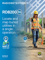
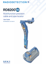
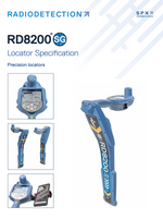
RD8200SG Precision Locator
Revolutionizing Underground Utility Location with Survey Grade Accuracy

Introducing the RD8200SG: A New Era in Precision Locating
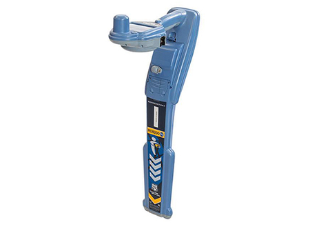
The RD8200SG is the latest advancement from Radiodetection’s trusted line of precision locators. Building on the robust foundation of the RD8200, this new model integrates state-of-the-art GPS and RTK technologies, elevating locating accuracy to unprecedented levels. Ideal for complex urban environments and challenging rural terrains, the RD8200SG is designed to navigate the intricate networks of underground utilities with unparalleled precision. Whether it's for construction, maintenance, or emergency response, the RD8200SG delivers reliability when it matters most.
Available for Android™ and iOS®
RD8200SG Locator Price: $8777--RECEIVER ONLY
RD8200SG: $9058 --Phone Holder, Bag, Lion Battery Charger
Other options and upgrades are available for an additional cost.
- Transmitter (20ft cables and extra 20ft extension cable, ground rod, instructions)
- Soft Carry Bag or Hard Case
Unique Flexibility
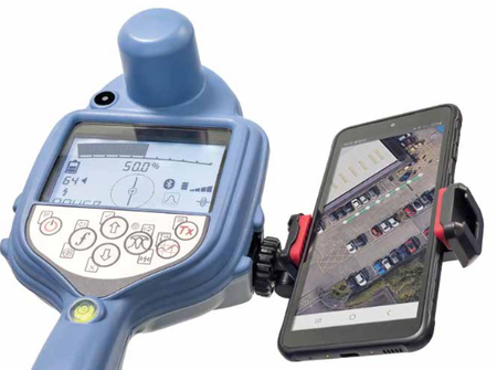
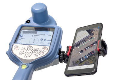
Giving you unique flexibility, you can choose your preferred mobile mapping app and correction service provider to achieve survey grade accuracy. Compatible mobile mapping apps are PointMan – a world leader in mapping applications – and SubsurfaceMaps. More mapping apps will be added in the near future.
Ultimate Versatility
You can view and build your maps while you are in the field. After a map is created, it can be sent via email in various file types, such as CSV, KML and SHP*, or you can directly export the data.
*The exact file types depend on the third-party mobile app.
Familiar Look, Enhanced Capability
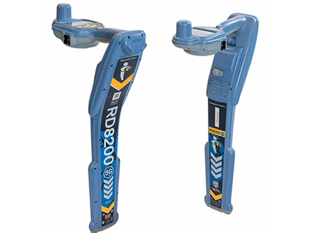
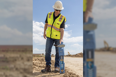
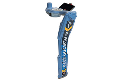
The RD8200SG also stands out thanks to its ergonomics. Weighing 2.4kg/5.2lb, it is lightweight and designed for frequent, continuous use in the field. The RD8200SG is based on Radiodetection’s popular RD8200G locator. The many users who are already familiar with the RD8200G will only require minimal training.
Our Most Advanced, Combined Mapping and Utility Locating Solution
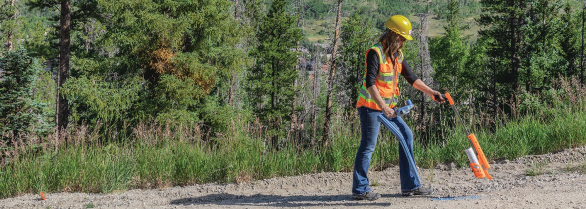
- Radiodetection brings together high quality, reliable locate technology and real-time mapping in a combined solution. The RD8200SG locates with survey grade accuracy and offers the flexibility to be integrated with a range of mobile mapping apps.
- Map While You Locate
- The RD8200SG combines buried utility locating with accurate mapping in a single operation. Improve your workflows and speed up the process of locating and mapping buried utilities.
Advanced Locating with "Survey Grade" Precision
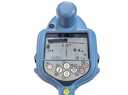
The RD8200SG sets a new standard in utility locating with its "Survey Grade" accuracy. This level of precision, achieved through meticulous engineering and calibration, ensures every locate is not just a detection but an exact pinpoint. With the ability to discern between closely spaced utilities and to provide exact depth measurements, the RD8200SG minimizes the risk of accidental strikes and enhances the safety of excavation projects. Its high-fidelity data is invaluable for urban planning, and infrastructure development, providing confidence in every dig.
Real-Time Kinematics (RTK) – The Game-Changer
At the heart of the RD8200SG's exceptional capabilities is the Real-Time Kinematics (RTK) technology. This advanced GPS correction technique refines satellite data to provide sub-inch accuracy in real-time. This not only improves the accuracy of underground utility mapping but also streamlines the workflow by providing immediate, actionable data. With RTK, field technicians can make informed decisions on-site, reducing the need for repeated visits and additional surveying equipment.
Unmatched Benefits for Critical Infrastructure Work
Beyond its technical prowess, the RD8200SG is a tool designed for the rigors of fieldwork. Its ergonomic design ensures comfort during extended use, while its rugged construction withstands harsh environmental conditions. The integration of RTK technology not only enhances precision but also contributes to a safer work environment by reducing the likelihood of accidental utility strikes. With the RD8200SG, operators can approach each project with confidence, knowing that they have the best tool for the job.
| Feature/Specification | RD8200 | RD8200SG |
|---|---|---|
| Precision | High accuracy for standard utility locating | "Survey Grade" accuracy with RTK technology |
| GPS Capabilities | Basic GPS functionality | High-accuracy GPS with RTK for sub-inch precision |
| Locating Technology | Advanced locating with multi-frequency modes | Enhanced locating with RTK integration |
| Utility Mapping | Efficient mapping and data logging | Real-time mapping with GPS and RTK integration |
| Data Logging | Comprehensive logging of locate parameters | Advanced data capture with integrated GPS |
| Depth Measurement | Accurate depth measurement with TruDepth™ | Enhanced depth precision with Survey Grade technology |
| Connectivity | Bluetooth BLE for basic connectivity | Dual Bluetooth system for advanced connectivity |
| Ergonomics and Design | Ergonomic, rugged design for field use | Similar ergonomic design with advanced components |
| Operational Environment | Built for challenging environments | Adapted for more demanding survey-grade tasks |
| Applications | Suitable for general utility locating | Ideal for precision mapping and infrastructure projects |
Radiodetection RD8200SG Locator
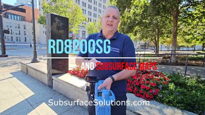
How to connect the RD8200SG to your mobile phone (Android)

Pair Your RD8200SG Locator to Subsurface Maps

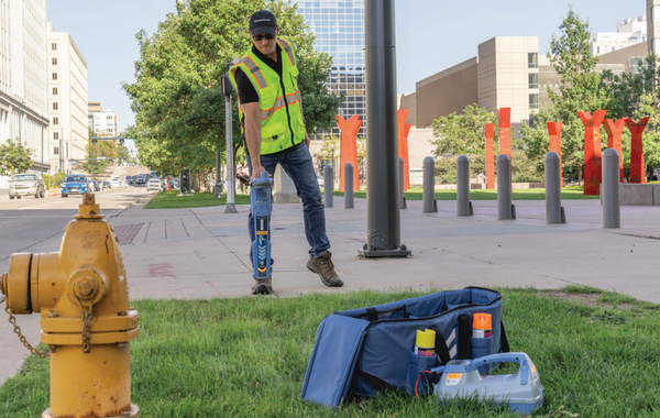
A Partnership in Precision: Locator Guys and RD8200SG
Choosing the RD8200SG from Locator Guys means more than just acquiring a top-tier utility locator. It means partnering with a team dedicated to your success. We offer comprehensive support, from on-site demonstrations and training to ongoing technical assistance. Our commitment to your success is unwavering, and with the RD8200SG, you're equipped not just with a locator but with a complete solution for your utility locating needs.

